| Forfar | |
|
|
|
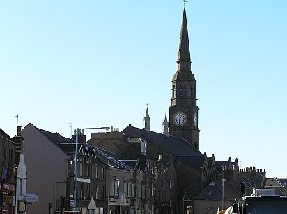
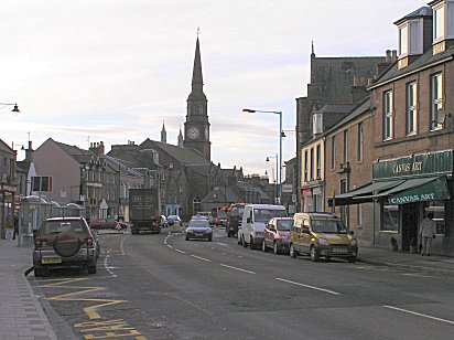
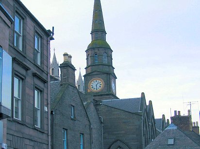
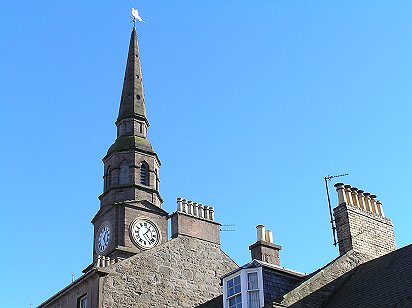
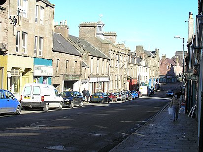
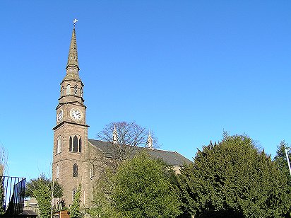
| Classic views - East High Street and the Steeple which dominates the town - PHOTOs © Malcolm McCrow | |
 |
 |
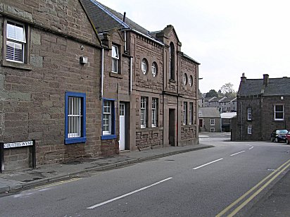
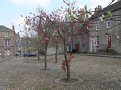
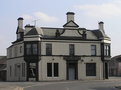
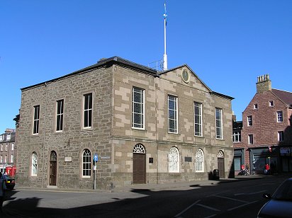
| Forfar Town House dating from the 1700s PHOTOs © Malcolm McCrow | |
 |
 |
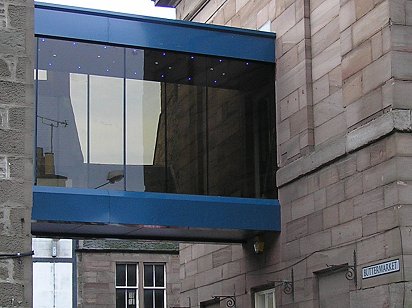
| Could a more sympathetic link not have been established between the Town House of 18th Century vintage and the classical building to its rear? PHOTOs © Malcolm McCrow | |
|
|
|
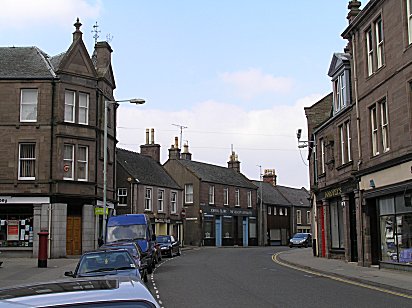
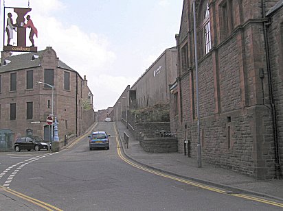
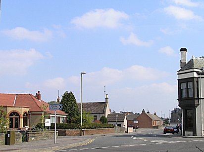
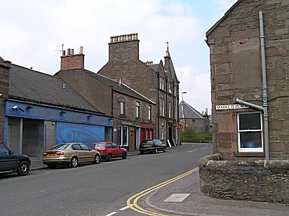
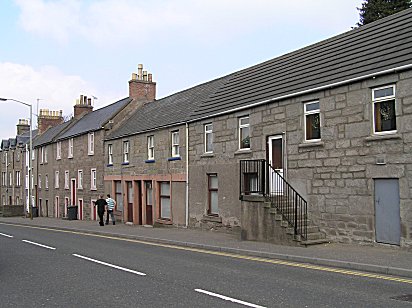
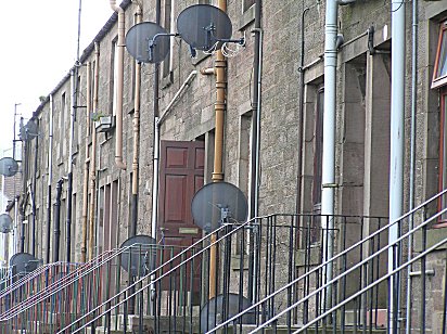
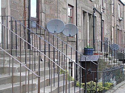
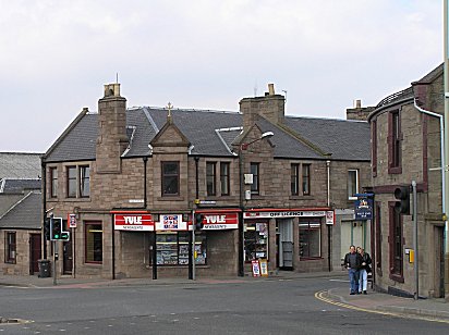
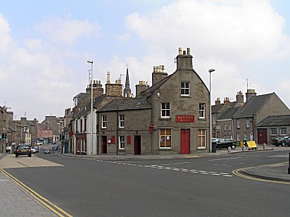
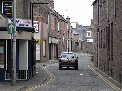
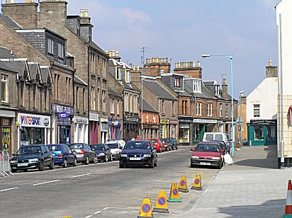
| Castle Street near the Cross with Queen Street leading off to the left - PHOTOs © Malcolm McCrow | |
|
|
|
|
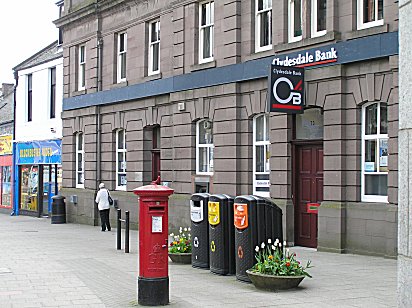
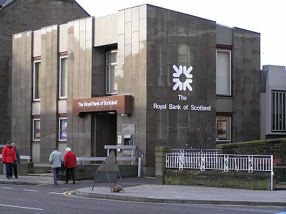
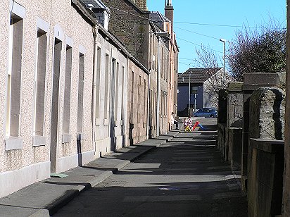
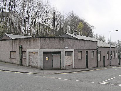
Pillar box outside the Clydesdale Bank in Castle Street (left) has acquired company in the form of differentiated waste containers . Castle Street narrows (right) looking towards the old Post Office. Jarvis Brothers in on the right - PHOTOs © Malcolm McCrow |
|
 |
 |
| Queen Street (left) leading to the Pavilion ('e Gaff) which was offering Bingo in 2005, but by 2010 is derelict. Forfar no longer has a cinema. County Buidlings (right) - PHOTOs © Malcolm McCrow | |
 |
 |
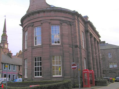
| The Sheriff Court (left) and County Buildings (right) in Market Street - PHOTOs © Malcolm McCrow | |
 |
 |
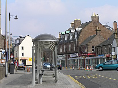
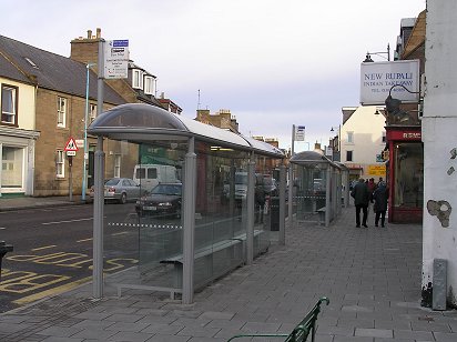
| Conflicting patterns of street furniture in East High Street - modern bus shelters but new lamp standards aping times past - PHOTOs © Malcolm McCrow | |
 |
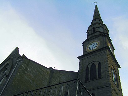 |
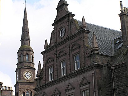
| For several years in the nineties the steeple clock was difficult to read, but that's no longer a problem! PHOTOs © Malcolm McCrow | |
|
|
|
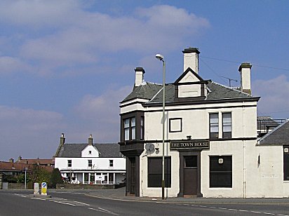
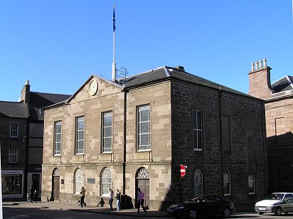
| Forfar Town House, which dates from 1780, at the Cross (left). East High Street from the Cross (right) - PHOTOs © Malcolm McCrow | |
 |
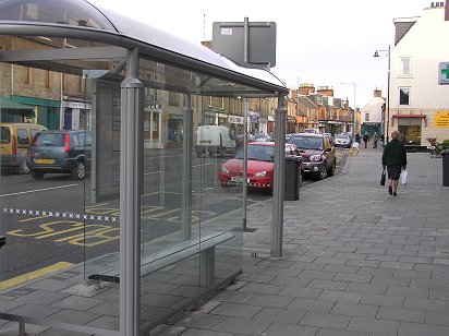 |
| East High Street's new bus shelters - PHOTOs © Malcolm McCrow | |
 |
 |
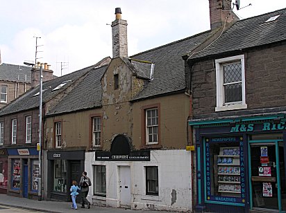
| Once a fish and chip shop (in the 1950s) a traditional style Forfar building with its gable to the street (left). Arched window in east High Street (right) - PHOTOs © Malcolm McCrow | |
 |
 |
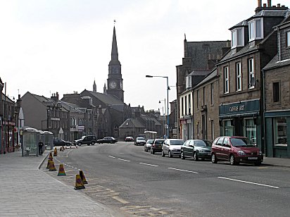
| East High Street looking east - PHOTOs © Malcolm McCrow | |
|
|
|
| East High Street (left) The new pavement was re-aligned in 2005 and projects out into the road. The new street lamps have been made to look old which makes the futuristic bus shelters in East High Street (left) look, perhaps, somewhat incongruous. Coutties Wynd leading down to Academy Street (right) - PHOTOs © Malcolm McCrow | |
 |
 |
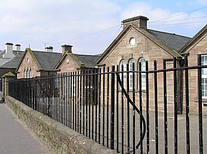
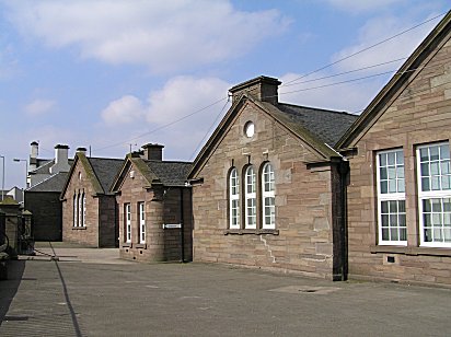
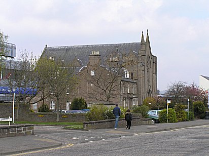
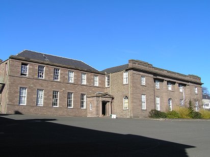
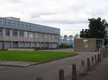
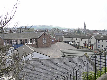
| Old Forfar Academy, designed by the same architect as Montrose Academy. Old Forfar Academy (right) with the gymnasium to the left nearest the camera; the building also housed the music department and was built in 1910. After the opening of the new Forfar Academy the buildings were used to house the new Chapel Park primary school, now closed. In 2012 both buildings are up for sale - PHOTOs © Malcolm McCrow | |
 |
 |
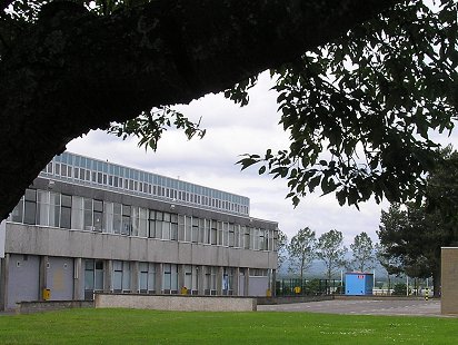
| The new Forfar Academy building that replaced the old was opened in 1965 - PHOTOs Malcolm McCrow | |
 |
 |
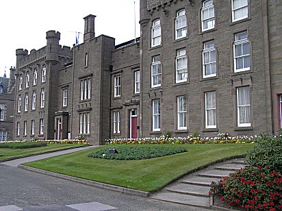
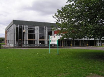
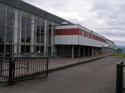
| Forfar Academy, July 2012 - PHOTOs Malcolm McCrow | |
 |
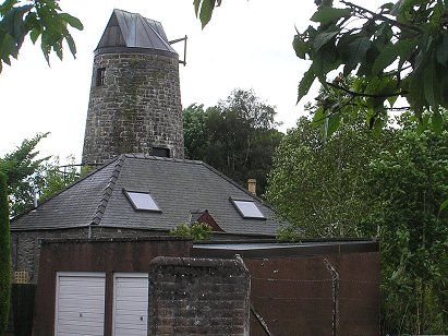 |
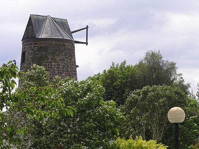
| Now a residence - remains of old windmill in Taylor Street - PHOTOs Malcolm McCrow | |
|
|
|
| Flemish or Dutch facade to the former British Linen Bank (left), now Council Offices . The Pend (right) - PHOTOs © Malcolm McCrow | |
 |
 |
|
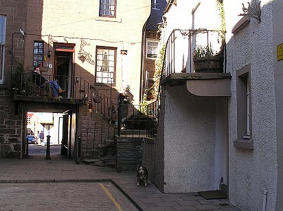
The Pend leading from East High Street to Osnaburg Street - PHOTOs © Malcolm McCrow |
|
 |
 |
|
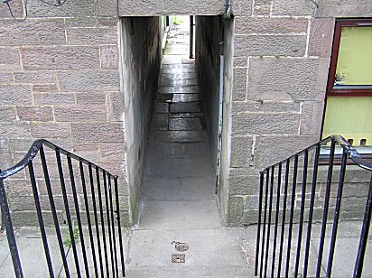
The Vennel (left) Sparrow Croft (right) - PHOTOs © Malcolm McCrow |
|
 |
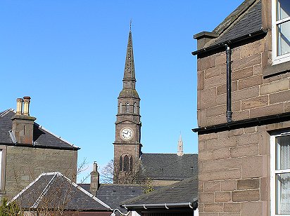 |
| Steeple from East High Street (left) and from the Vennel (right) - PHOTOs © Malcolm McCrow | |
|
|
|
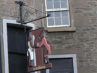
| Osnaburg Pub sign (left). The Vennel (right) looking towards Lour Road with the Guides' Headquarters on the left and the Swimming Baths on the right - PHOTOs © Malcolm McCrow | |
|
|
|
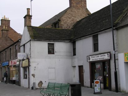
| Killacky's Corner with the Trooper's Bar (left) and Doig's church-like saleroom (right) - PHOTOs © Malcolm McCrow | |
|
|
|
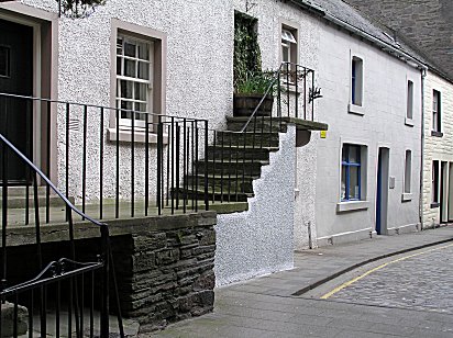
| The Little Causeway - PHOTOs © Malcolm McCrow | |
 |
 |
|
West High Street (left) Steeple from Chapel Street (right) - PHOTOs © Malcolm McCrow |
|
 |
 |
|
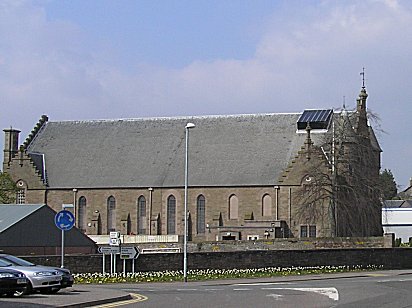
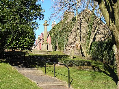
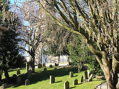
Steeple Church Yard - PHOTOs © Malcolm McCrow |
|
|
|
|
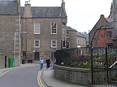
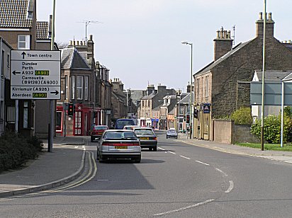
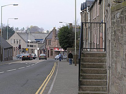
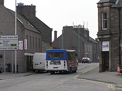
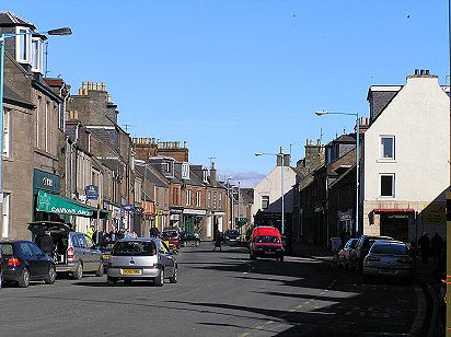
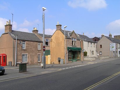
| . The start of East High Street looking towards the crossroads formed by North Street and South Street (left.) Looking from North Street towards Queen Street (right) - PHOTOs © Malcolm McCrow | |
|
|
|
|
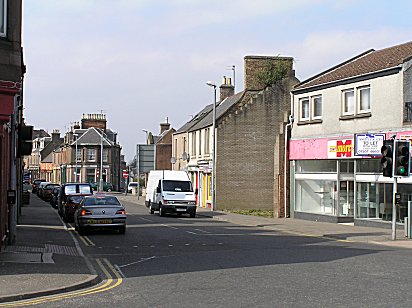
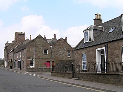
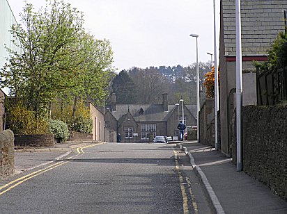
East High Street where North Street and South Street meet. Prior Road (right) has little changed over the years - PHOTOs © Malcolm McCrow |
|
|
|
|
| The Volunteer Arms became the Town House in 2005 and was painted white. A familiar landmark in Forfar's east end by 2010 it had become The Vollies - PHOTOs © Malcolm McCrow | |
 |
 |
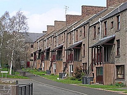
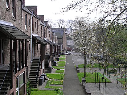
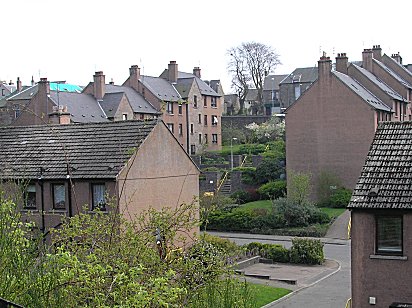
| Traditional landings at the backs of the Montrose Road houses (left) contrast with modern architecture in East High Street (right) - PHOTOs © Malcolm McCrow | |
|
|
|
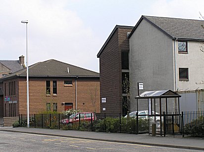
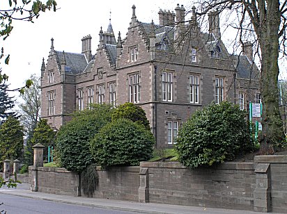
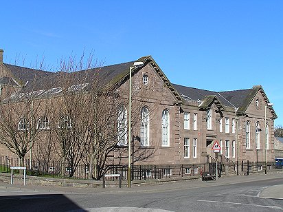
| Inside and out - former Forfar East School was an educational administrative centre in 2005, but by 2010 has become council offices - PHOTOs © Malcolm McCrow | |
 |
 |
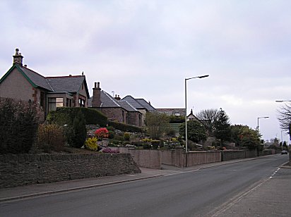
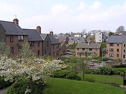
| Morning and Montrose Road is viewed from Frank Norrie's garage (left). Evening in Montrose Road. Jeannie Morris had a small grocer shop at the corner of Montrose Road and William Street (right): at the other end of William Street, at the junction with Prior Road was Millar the grocer - PHOTOs © Malcolm McCrow | |
|
|
|
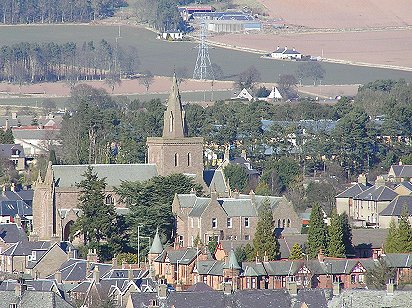
| The Lowson Memorial Church spire (left) can be seen from many miles around. Darkness is falling and a house window (right) catches the setting sun in Montrose Road - PHOTOs © Malcolm McCrow | |
|
|
|
|
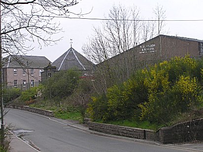
Former Scottish Gas Board offices in North Street (left) viewed from the remains of the railway bridge that led to the coal siding. The gates of the gasworks and the manager's house (right) still survive - PHOTOs © Malcolm McCrow |
|
|
|
|
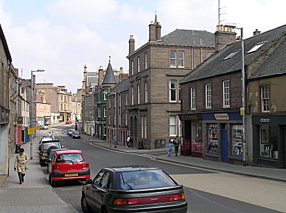
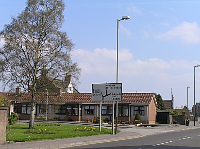
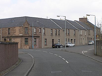
| North Street looking towards Market Street (left) and Carseview Road (right) which leads to Station Park, home of Forfar Athletic - PHOTOs © Malcolm McCrow | |
 |
 |
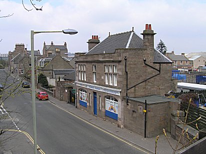
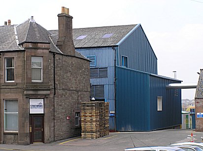
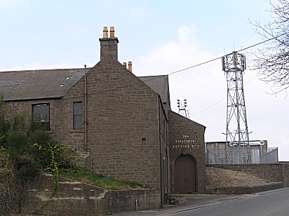
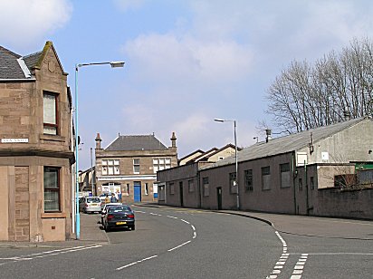
| Strathmore Auction Building with Station Park just visible behind it (left). Looking back towards Market Street, the dip in the road where it passed under the Aberdeen-Glasgow mainline is still obvious (right) - PHOTOs © Malcolm McCrow | |
 |
 |
| Carseburn Road (left). Modern flats occupy the former railway coal sidings which were accessed by a bridge over North Street. Don Street (right) - PHOTOs © Malcolm McCrow | |
 |
 |
| Don Street (left) looking towards the former Scottish Gas Board showrooms with, in 2006, the derelict property of Harry Mackintosh & Son on the right hand side of the street. Flats have been built on the site by 2010 - (right) - PHOTOs © Malcolm McCrow | |
 |
 |
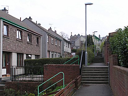
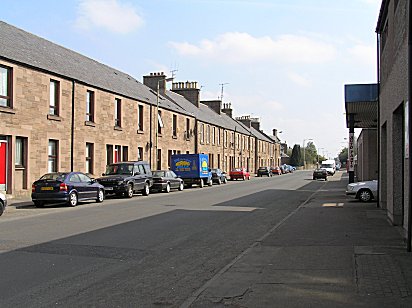
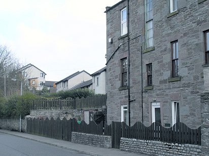
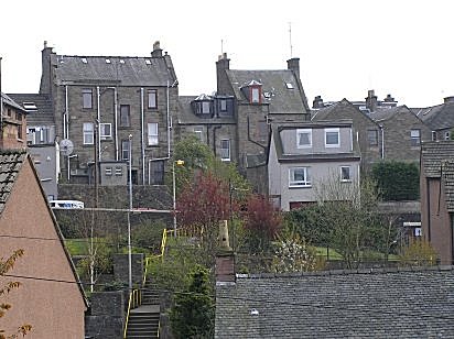
| The backs of the houses on the west side of John Street - PHOTOs © Malcolm McCrow | |
 |
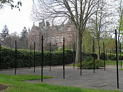 |
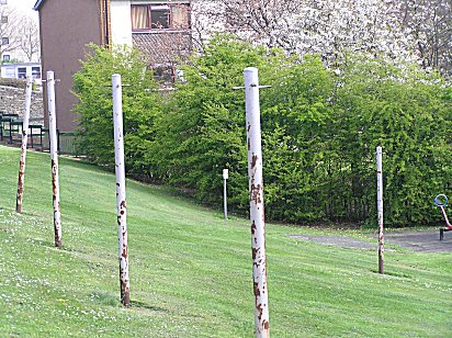
| An array of drying poles await a washing with the County Buildings visible through the trees - PHOTOs © Malcolm McCrow | |
 |
 |
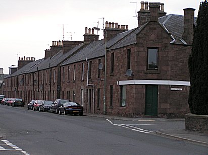
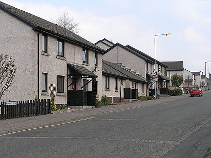
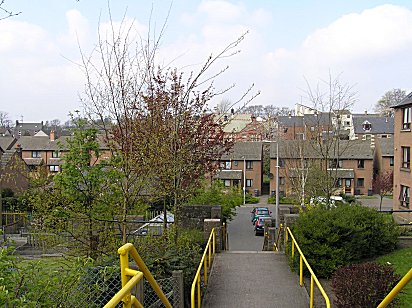
| Victoria Street (left). Modern housing off Don Street (right) - PHOTOs © Malcolm McCrow | |
 |
 |
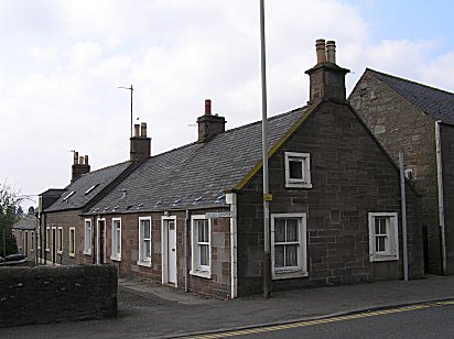
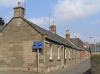
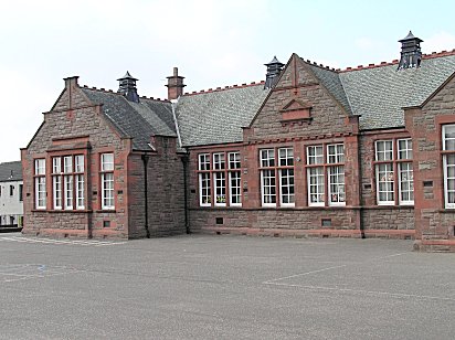
| Forfar had four primary schools named after the cardinal points of the compass. The West has been demolished, but the buildings of all the others survive. The most distinctive was the red brick North School in Wellbraehead - PHOTOs © Malcolm McCrow | |
 |
 |
| Queens Street leads off East High Street to the Greens. At the junction (left) stood the remains of a well first sunk in 1757. Its remains lasted until demolition in the 1960s and its spot is now marked by a utility services box! At the same time a 1741 tenement was demolished - but it wasn't to widen the High Street, although the replacement was built further back. One wonders if these structures would have been demolished had they lasted until now. The view looking back from the Greens (right) towards Queen Street with the buildings of East High Street forming a backdrop - PHOTOs © Malcolm McCrow | |
 |
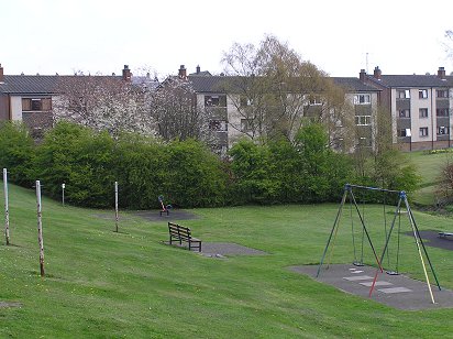 |
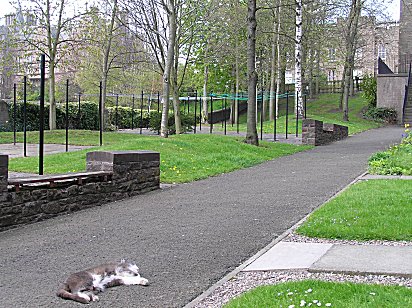
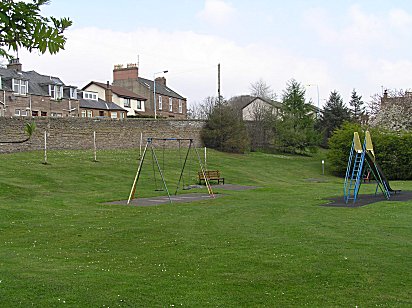
| Pathway leading from Queen Street to the Greens (left), so called because they were used extensively as drying greens. The drying poles behind the swing (right) are now symbolic of this past function of the Greens - now largely a parking lot - PHOTOs © Malcolm McCrow | |
 |
 |
| Goosecroft from Queen Street (left) and from Victoria Street (right) - PHOTOs © Malcolm McCrow | |
 |
 |
| The Greens survived into the 50s and were at that time the traditional location for the annual fair. Now a car park, the poles to the rear of the children's swings are a reminder of the Green's original function - PHOTOs © Malcolm McCrow | |
|
|
|
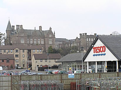
| County Buildings in Market Street form a backdrop to Tesco (left). Tesco from Don Street (right) - PHOTOs © Malcolm McCrow | |
|
|
|
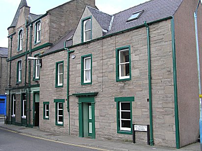
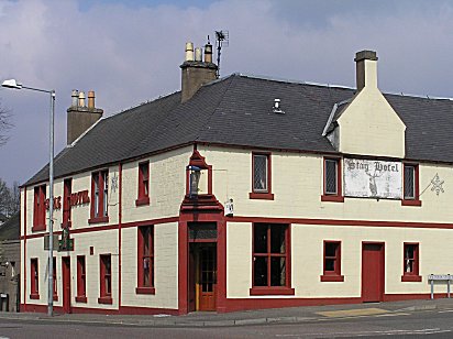
| The gift of a former lord provost the Reid Hall (left), was burnt down on 31 December 1941 and restored in the 60s. The Stag Hotel (right) at the junction of Victoria Street and Castle Street was at one time the eastern extremity of the Myre - PHOTOs © Malcolm McCrow | |
|
|
|
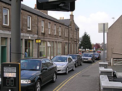
| West side of Dundee Loan looking towards the West Port - PHOTOs © Malcolm McCrow | |
|
|
|
| East side of Dundee Loan looking towards the West Port - PHOTOs © Malcolm McCrow | |
|
|
|
|
Ups and Downs - Left, Centre and Right - PHOTOs © Malcolm McCrow |
|
|
|
|
|
Old and New in Dundee Loan - PHOTOs © Malcolm McCrow |
|
|
|
|
| Western and Eastern Sunnyside on either side of Dundee Loan - PHOTOs © Malcolm McCrow | |
|
|
|
| West Port from the foot of Dundee Loan (left). Although West High Street (right) was widened and drastically redeveloped in the 60s, the widening stopped short of the West Port. PHOTOs Malcolm McCrow | |
|
|
|
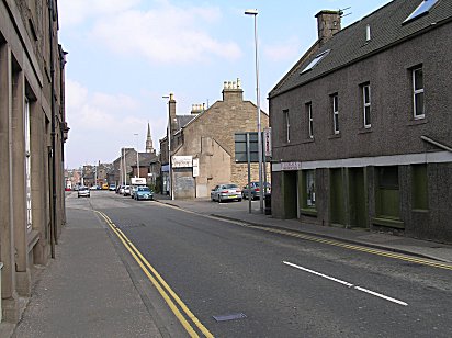
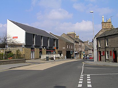
| West High Street looking west (left). West High Street looking east (right). PHOTOs Malcolm McCrow | |
|
|
|
| Strathmore Mineral Water Company's premises in West High Street (left). Lyning Hills (right) off West high Street. Forfar has many narrow lanes maintaining links with earlier times. PHOTOs Malcolm McCrow | |
|
|
|
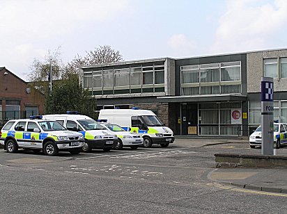
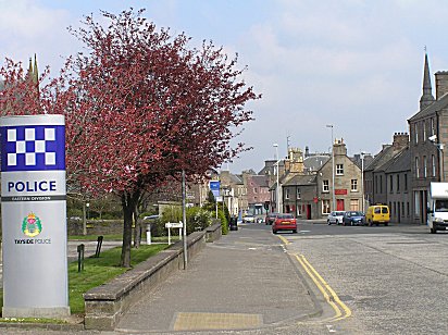
| West High Street (left) - another Forfar characteristic to survive - gables backing on to the street. Across the road (right) - the Forfar Police Headquarters. PHOTOs Malcolm McCrow | |
|
|
|
| Looking east in West High Street - Police Station (left) and the the Post Office and County Library (right). PHOTOs Malcolm McCrow | |
|
|
|
| The Bank of Scotland built on the site of a former Shell garage (left). St Margaret's Church (right). PHOTOs Malcolm McCrow | |
|
|
|
| West High Street and the little Causeway (left). At one time there were no buildings to separate the two. New Road (right) leads up to what was Forfar South School and is now Kirkriggs Primary School. In the late 50s this building served as an annexe to Forfar Academy and first year pupils would assemble here for music lessons from Miss Farquhar. PHOTOs Malcolm McCrow | |
|
|
|
| One of Forfar's older buildings on the north side of West High Street (left). Looking towards The Cross (right). PHOTOs Malcolm McCrow | |
 |
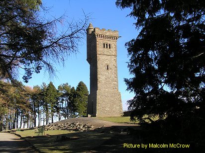 |
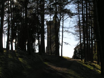
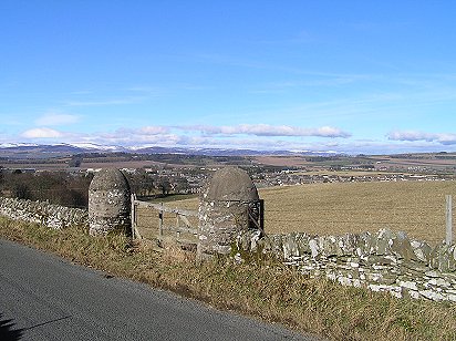
| "On The Slopes of Balmashanner" - from the song by Lowland Folk | Balmashanner War Memorial PHOTOs © Malcolm McCrow |
 |
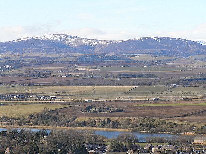 |
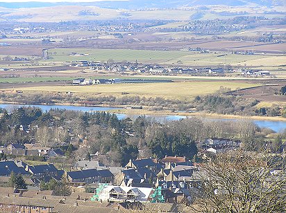
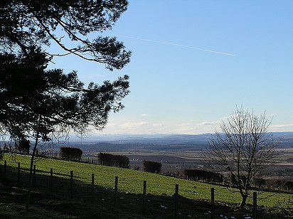
| "We see the Loch . . . " | PHOTOs © Malcolm McCrow |
 |
 |
| ". . . and Lowson's Kirk, the toon lies blinkin' in the murk . . ." |
PHOTOs © Malcolm McCrow |
 |
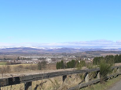 |
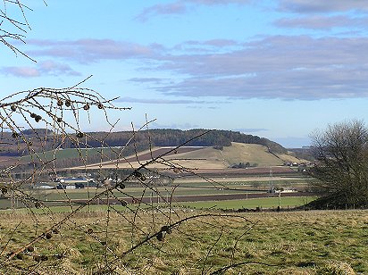
| Views from Old Dundee Road |
PHOTOs © Malcolm McCrow |
 |
 |
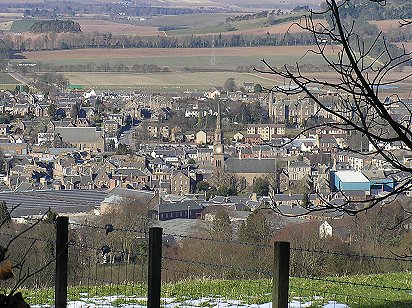
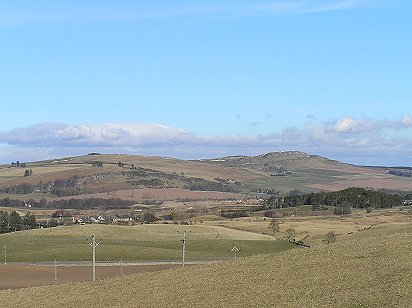
| Views: looking west from Balmashanner (left) and east (right) |
PHOTOs © Malcolm McCrow |
 |
 |
| ". . . we'll gaze out once again . . ." |
PHOTOs © Malcolm McCrow |
| contact me: malcolm@mccrow.org.uk | |